

THIS week’s walk of the week is Crocknagrally Forest.
With the following information provided courtesy of Fermanagh and Omagh District Council, you can stay local, and yet still find plenty of natural gems to walk, see and explore that are practically on your doorstep, no matter where you live in the county.
Overview
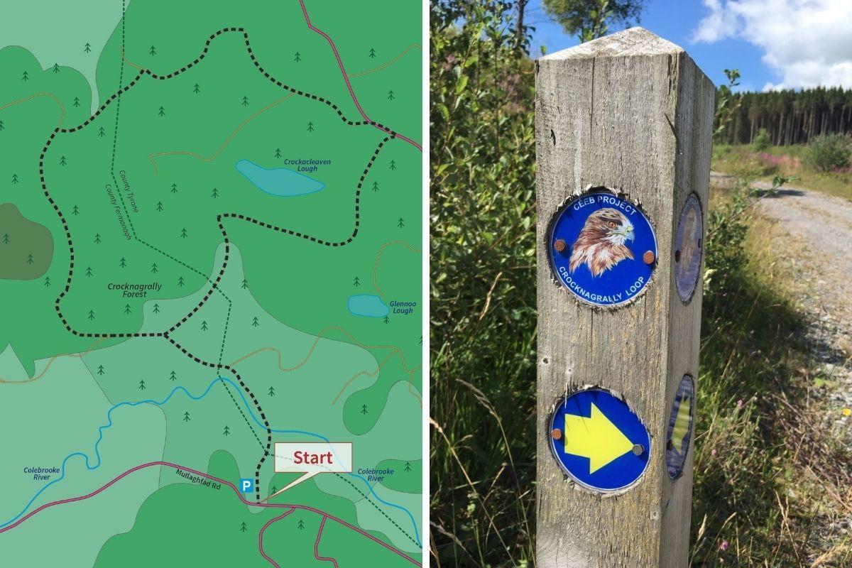
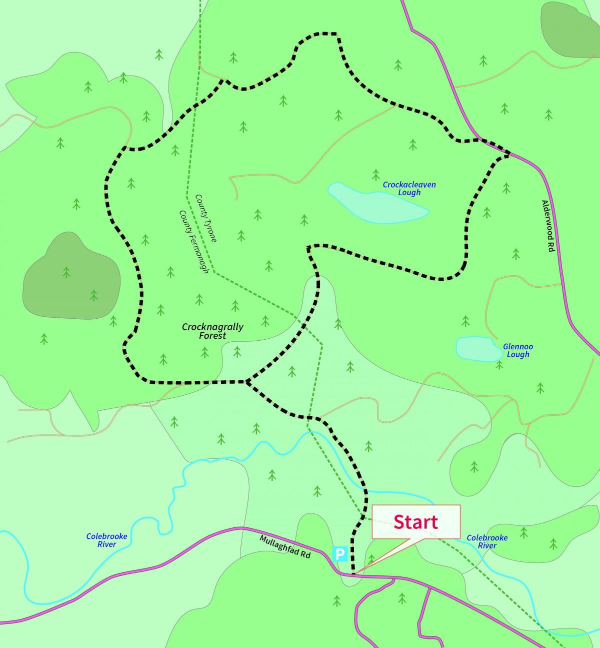
THIS circular walk is all on hard-surface forest tracks through Crocknagrally Forest.
Crocknagrally is an upland predominantly coniferous forest that lies between Brookeborough and Fivemiletown.
This 630 hectare forest forms part of a larger connected mass of forests that includes Doon, Jenkin, Knocks, Tully, Mullaghfad, Carnmore, Grogey and Fardross Forests, which cover 8,000 hectares spilling down from the Slieve Beagh plateau.
This walk was developed as part of the Clones Erne East Blackwater Rural Regeneration project.
THE information on this walking route has been provided by Fermanagh and Omagh District Council and also features on a series of walking cards which have been developed to promote walking opportunities, trails and routes within the Council district.
Please note that to help reduce the risk of spreading Covid-19, social distancing should be adhered to.
When visiting this or any similar area, try to avoid busy times, use the designated car parking spaces, and ‘Leave No Trace’ to ensure we can protect our environment for the enjoyment of all.
Nearest Town: Fivemiletown
Points of Interest: Colebrooke River
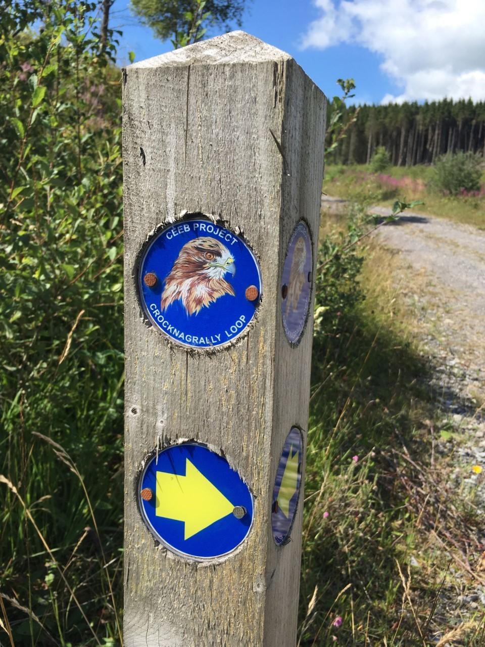
Location: The start of the walk is at the entrance to Crocknagrally Forest – located on the Mullaghfad Road approximately one mile from the Mullaghfad/Alderwood Road junction
Distance: 4.2 miles
Route Shape: Circular
Route Type: Forest
Facilities: Car parking on site; nearest amenities are in Fivemiletown, approximately five miles away
Grade of walk: Moderate


Comments: Our rules
We want our comments to be a lively and valuable part of our community - a place where readers can debate and engage with the most important local issues. The ability to comment on our stories is a privilege, not a right, however, and that privilege may be withdrawn if it is abused or misused.
Please report any comments that break our rules.
Read the rules here