
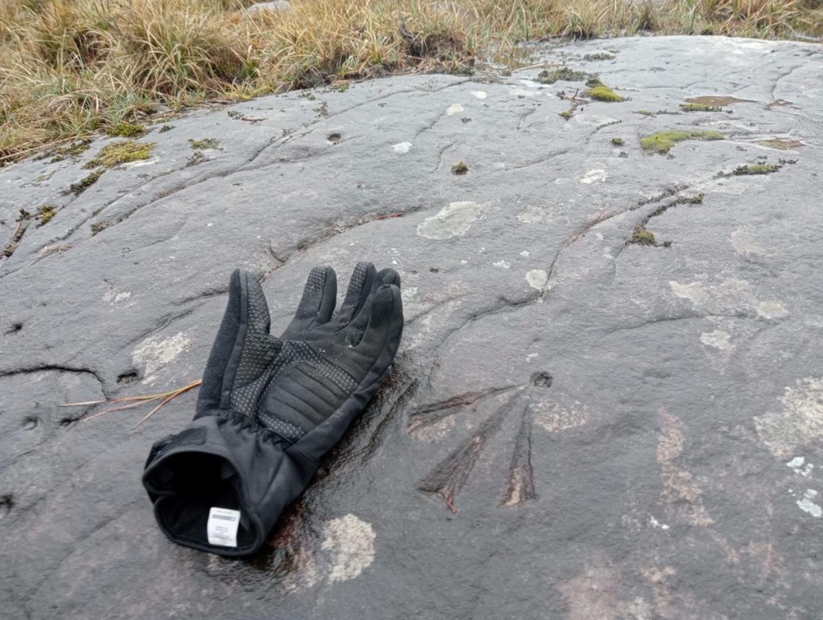
It caught my eye in an instant. I back tracked.
Close to the roadside fence near Lough Lattone on the Fermanagh-Leitrim border was a ‘crow’s foot’, or Ordnance Survey benchmark chiselled onto the surface of a slab of bedrock.
I regularly cycle this route but had failed to see it until now. I later checked an old map which showed that it marked a point 294.4 feet above mean sea level.
Not bad, given that it was surveyed and marked by British army sappers nearly 200 years ago as part of the Ordnance Survey (OS) mapping of Ireland.
Next year will mark the bicentenary of the start of this huge technical and scientific undertaking. But what was it, and why was it done?
People in societies are generally unconcerned with measurement, but states everywhere take it very seriously indeed.
As early as 1085, just 19 years after his invasion of England, William the Conqueror produced the Domesday book to identify the holdings and dues owed to him.
In the early 1600s, Bartlett and Bodley mapped lands in Ulster to facilitate the Plantation, and William Petty’s maps (known as the Down Survey) informed the post-Cromwellian valuation, confiscation, and distribution of land in the 1650s.
By the early 19th Century however, the State in Ireland was still partially blind, unable to make legible its subjects, their wealth, and very often their location.
But this was about to change. As enlightenment and scientific discoveries spread across Europe, new systems and techniques for measurement were being invented to better understand populations, make them visible – and easier to tax and control.
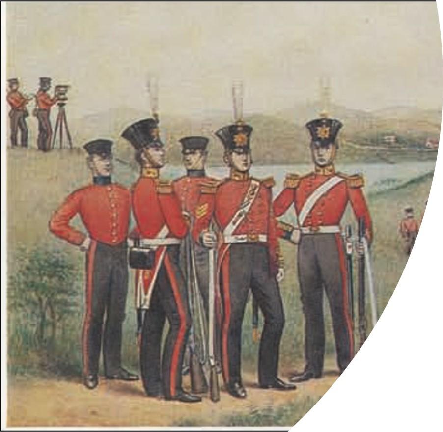
Map making was seen as one such measuring tool, and so in 1824 the British Government established the Ordnance Survey Office to conduct a military survey of Ireland.
It appointed Major General Thomas Colby to produce a series of 6 inch to the mile scale maps.
When the survey was completed in 1846, Ireland became the first country in the world to be mapped entirely in such detail.
Based on a process of triangulation, work began on accurately measuring the baseline at Magilligan on Lough Foyle in 1827.
From there it was a long, complicated task using frameworks of trigonometrical stations on which to base the mapping across the entire island.
Sightings between stations were taken with the use of theodolites, and mountains were used as vantage points on which quicklime was burned to create intense lights so they could be seen across great distances; ‘limelight’ had entered the language.
In Enniskillen a newspaper report from 1842 noted that “for several evenings a number of persons assembled on the Fortification Hill and other elevations about this town to view rockets which were sent up from the top of Cuilcagh mountain near Florencecourt and that Lord Enniskillen and several other gentlemen attended the operations at Cuilcagh”.
As the survey progressed, the mappers encountered difficulties in deciding the standard forms of place names, particularly due to the engineers’ unfamiliarity with the Irish language.
It was found necessary to bring in leading Irish academics John O’Donovan and George Petrie, who established as closely as possible the correct origin of some 63,000 townland names.
O’Donovan was the authority on translation from Irish to English, and he determined their spelling and pronunciation and suggested anglicised versions for those he documented throughout much of Ireland.
He was considered one of the greatest Irish scholars of his time and his Name Books are regarded as an important record of the ancient lore of Ireland, and a colossal contribution to Irish history and literature.
Another important piece of the mapping jigsaw was the writing of the Ordnance Survey Memoirs which, although written at the time of the survey, were published later.
They presented in narrative form an invaluable description of life in pre-Famine Ireland in the northern half of the island, and described the landscape including buildings, antiquities, landholdings, towns, roads, population, customs, and livelihoods of people.
Based on the completed OS maps, a property tax survey was later carried out under the supervision of Sir Richard Griffith which involved the detailed valuation of every taxable piece of agricultural or built property in Ireland, and was published county-by-county between the years 1847 and 1864.
These maps are still used today to trace the names of people seeking information on their ancestors, many of whom had emigrated.
Ireland was giving up its secrets; legibility was in sight.
However, the survey was undertaken at a time of great political and cultural turmoil which included the Act of Union, the abolition of independent ‘hedgerow’ schools which taught subjects in Irish, and the Great Famine of 1845.
The survey subsequently became a vehicle for thinking about the cultural impact brought about by its own work, and the wider political context at the time.
Brian Friel set his play, ‘Translations’, within this period of great change, and it explored the impact of the survey and reflected on how it standardised and distorted the landscape by the anglicisation of placenames and, along with the establishment of National Schools at the time, replaced the native language with English.
Placenames were misheard and even misplaced on the map, and crudely transliterated through English phonetics.
To the administration, the collecting of rent and rates came before everything else.
The survey, however, is also generally regarded as a hugely important insight into cultural and economic life in pre-Famine Ireland, and the detailed memoirs provide insights we perhaps would not otherwise have had.
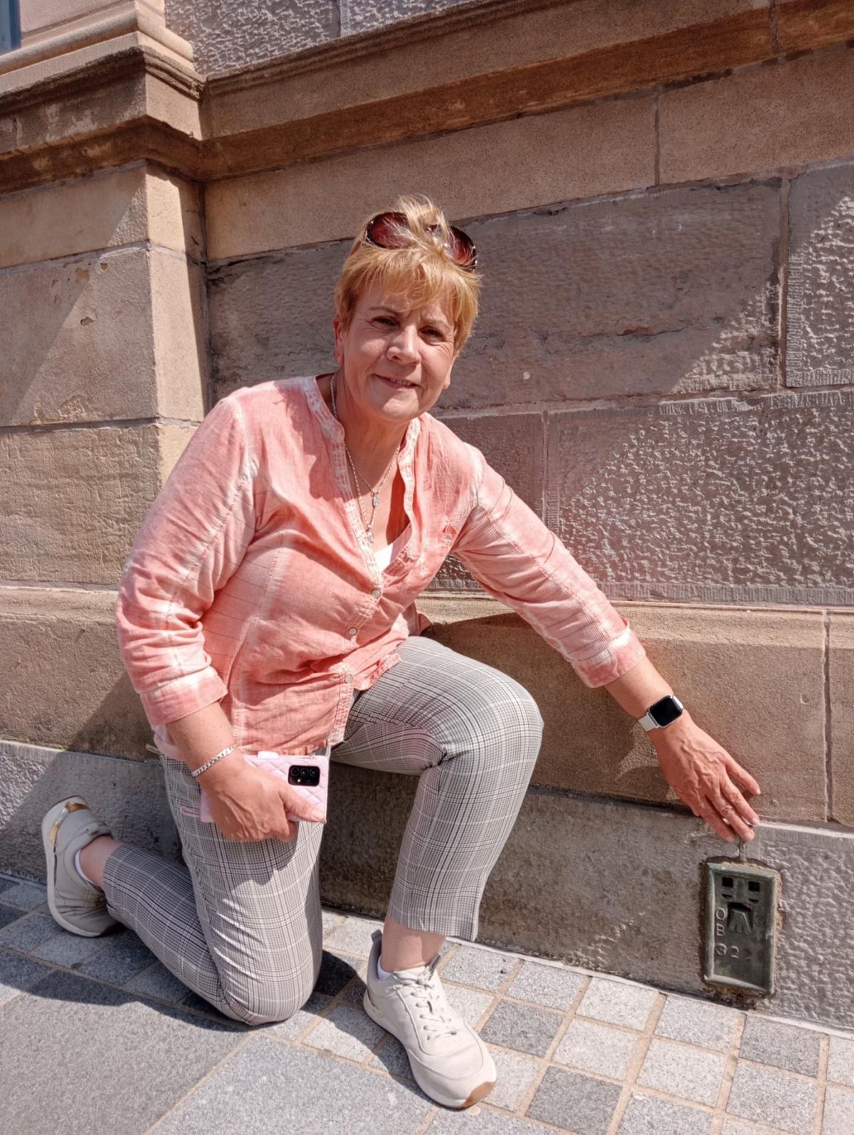
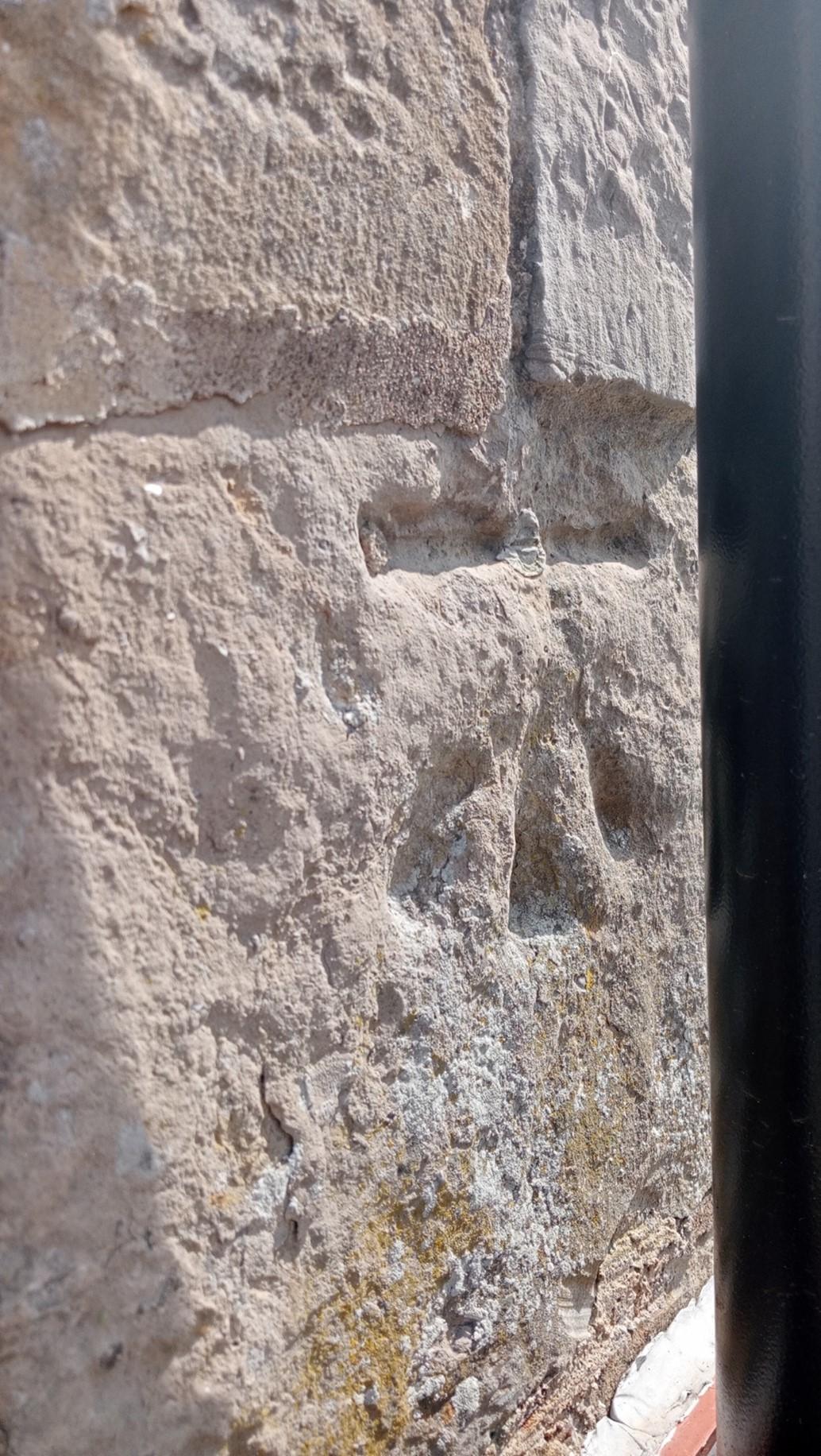
The benchmarks, or sappers’ marks and trig points, on hill tops are physical remnants of the OS.
They remained in use until they were superseded by the more sophisticated fundamental benchmarks, and in more recent times by global digital maps.
Many have been destroyed by redevelopment, but some still survive on buildings and in fields.
People are often unaware of their existence and significance.
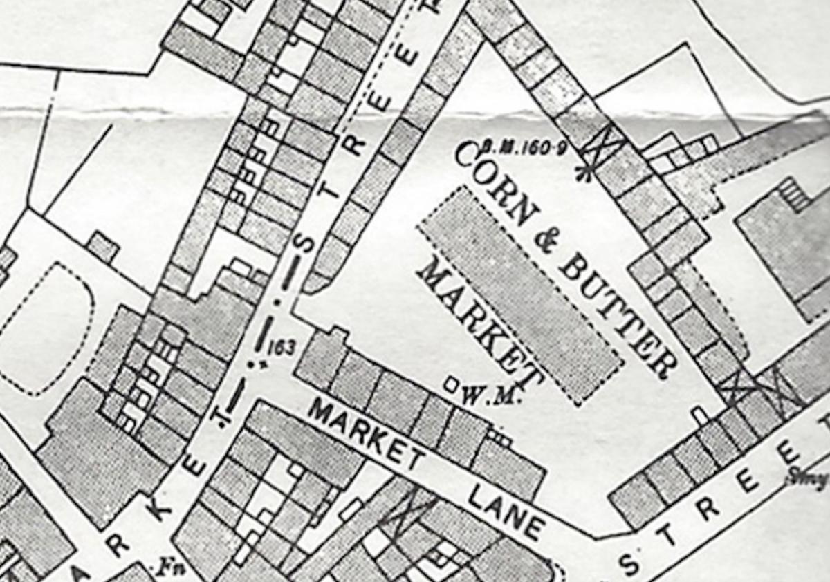
Of the 20 benchmarks on the island of Enniskillen, only two can be found – a crow’s foot in the Buttermarket, and a metal flush bracket at the front of the Town Hall.
Mapmaking in the 19th Century, here as elsewhere, had huge cultural, economic, and political impact, and was clearly a triumph for science and technology.
National states were no longer blindsided and modern digital mapping and data-capture methods continue to keep it that way.
People and societies everywhere are now fully legible. Yet not everything in Ireland was recorded by the measure men.
Occasionally I find delight in finding unmapped sites and monuments and take great satisfaction in knowing that they escaped the surveyor’s clipboard.
Still unrecorded and uncategorised by contemporary bureaucrats, their locations and secrets are safe with me.
https://notes-from-the-field.blog
Many thanks to Claire McGovern, Frankie Roofe and Marion Maxwell for their assistance.


Comments: Our rules
We want our comments to be a lively and valuable part of our community - a place where readers can debate and engage with the most important local issues. The ability to comment on our stories is a privilege, not a right, however, and that privilege may be withdrawn if it is abused or misused.
Please report any comments that break our rules.
Read the rules here